Parks & Trails
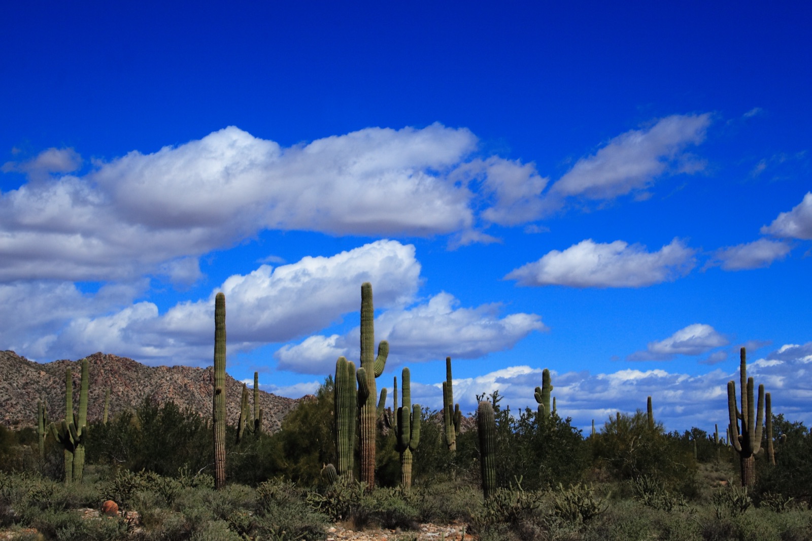
Parks are Verrado's calling card — the community's official site advertises 86+ uniquely designed neighborhood parks connected by tree-lined streets and paths, with the White Tank Mountains as the backdrop. We don't try to mirror the full list here; below are the parks we can verify by name, and the official sources that carry the complete, current list.
Named parks we've verified
Each name below appears on an official verrado.com page (linked). Many more neighborhood parks exist — see the official parks page for the full set.
Founders Park
One of Verrado's larger community parks, which host the Fourth of July, Founder's Day and Little League games. Correction (Oct. 11, 2026): this card previously said the official page lists sports fields, courts, and playgrounds; that page has no amenity list.
Heritage Swim Park
Resident resort-style aquatic facility in the Heritage District — see our full listing.
The full lists (official sources)
Verrado Parks (official)
The community's own parks page — the authoritative list and map of all neighborhood parks.
Life in Verrado (official)
Amenities overview, including the "86+ neighborhood parks" the community is known for.
City of Buckeye — Parks & Facilities
City-operated parks, recreation programs, and facility reservations across Buckeye.
White Tank Mountain Regional Park
Maricopa County's ~30,000-acre park directly adjacent to Verrado — trails, nature center, camping.
Skyline Regional Park
Buckeye's free-entry mountain preserve in the southern White Tanks, minutes from Verrado.
Three kinds of parks, three sets of rules
Before you head out, know who runs the park, because that decides the hours, the fees and the rules. Most confusion about parks around Verrado comes from mixing up who runs what. There are three layers, and each one sets its own hours, fees, and rules:
| Layer | Who runs it | What to expect |
|---|---|---|
| Neighborhood parks and paths inside Verrado | The community (association) | Dozens of neighborhood parks (the developer cites 86+), linked by tree-lined streets and paths. Some amenities, like Heritage Swim Park, are for residents only. |
| Skyline Regional Park | City of Buckeye | Mountain preserve with free entry, trails, and campsites |
| White Tank Mountain Regional Park | Maricopa County | The county's largest regional park, with a day-use fee, a nature center, and camping |
The operator's website has the final word on its own park.
White Tank Mountain Regional Park (county)
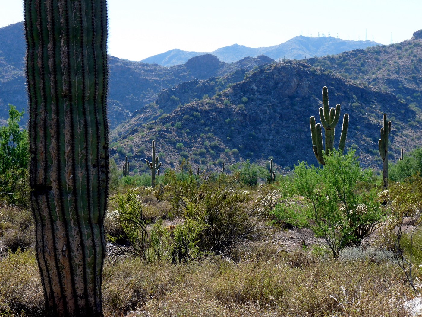
At nearly 30,000 acres, White Tank is the largest regional park in Maricopa County. The range rises sharply to peaks over 4,000 feet. The "tanks" in the name are depressions that flash floods have scoured into the white granite (Maricopa County Parks).
The park is at 20304 W. White Tank Mountain Rd., Waddell, and the phone is (602) 506-2930 ext. 5.
Park hours are seasonal. The county lists 5 a.m. to 9 p.m. from May 1 to October 31, and 6 a.m. to 8 p.m. from November 1 to April 30. Nature Center hours are seasonal too: May through October it's open 7 a.m. to 2 p.m. Monday through Saturday and closed Sundays. November through April it's open 8 a.m. to 4 p.m. daily. The county calendar also lists ranger programs like Discovery Station. Some need registration.
Fees and annual passes are on the county's fee page. We don't repeat dollar amounts here so we never show you a stale number. Our full write-up is White Tank Mountain Regional Park.
Skyline Regional Park (city)
Skyline is Buckeye's 8,700-acre mountain preserve in the southern White Tanks. It's at 2600 N. Watson Rd., about two miles north of the I-10/Watson Road interchange. Entry is free. Trails are open sunrise to sunset, and the gates close at 10 p.m. (City of Buckeye). The White Tank Mountains Conservancy's park page said it opened in January 2016 and has grown to about 20 miles of trails, with shaded picnic areas, and that parking is free but limited (archived Dec. 2024; the Conservancy has since taken that page down). The city's camping and ramadas page lists five ramadas, seven campsites with campsite A ADA-accessible, and restrooms.
Link note (Oct. 11, 2026): the Conservancy link here now redirects to an unrelated 2022 post, so we point to the archived copy and the city's page instead. The facts above are unchanged.
The city's parks and recreation line is 623-349-6350 on weekdays.
Desert-smart habits
- Go early. From late spring through early fall, plan to be off exposed trails before the heat peaks.
- Carry more water than you think, and set a turnaround time before you start.
- Watch the sky in monsoon season. Dry washes can flood fast when storms build, even if it isn't raining where you are.
- Check fire rules. The city notes Maricopa County's annual fire ban runs May 1 through September 30 (City of Buckeye).
- Stay on marked trails and share them: hikers, riders, and horses use the same corridors.
Posted rules and rangers override this list. For routes and ideas, see our outdoors guide.
Unofficial neighbor guide, not the association or the city. Corrections welcome via /contact/.
Park names, amenities, and access rules are set by the Verrado Community Association and the City of Buckeye and change as districts build out. Know a named park we should add (with a source)? Suggest it. Also worth a visit: the Victory Steps at the top of Verrado Way in the Victory district — if you have a photo you'd like to share under an open license, send it our way.