2026-07-06
Verrado Outdoors: Trails & the White Tank Mountains
Hiking, biking, and desert recreation around Verrado: White Tank Mountain Regional Park, Skyline Regional Park, and the community's own parks and paths.
Go early. From about May through September, the mountains are a dawn activity, full stop. Verrado sits at the base of the White Tank Mountains, and getting outside is one of the nicest parts of living here. Here's how I'd think about the options, with links to the park pages for current hours, fees, and seasonal closures.
White Tank Mountain Regional Park
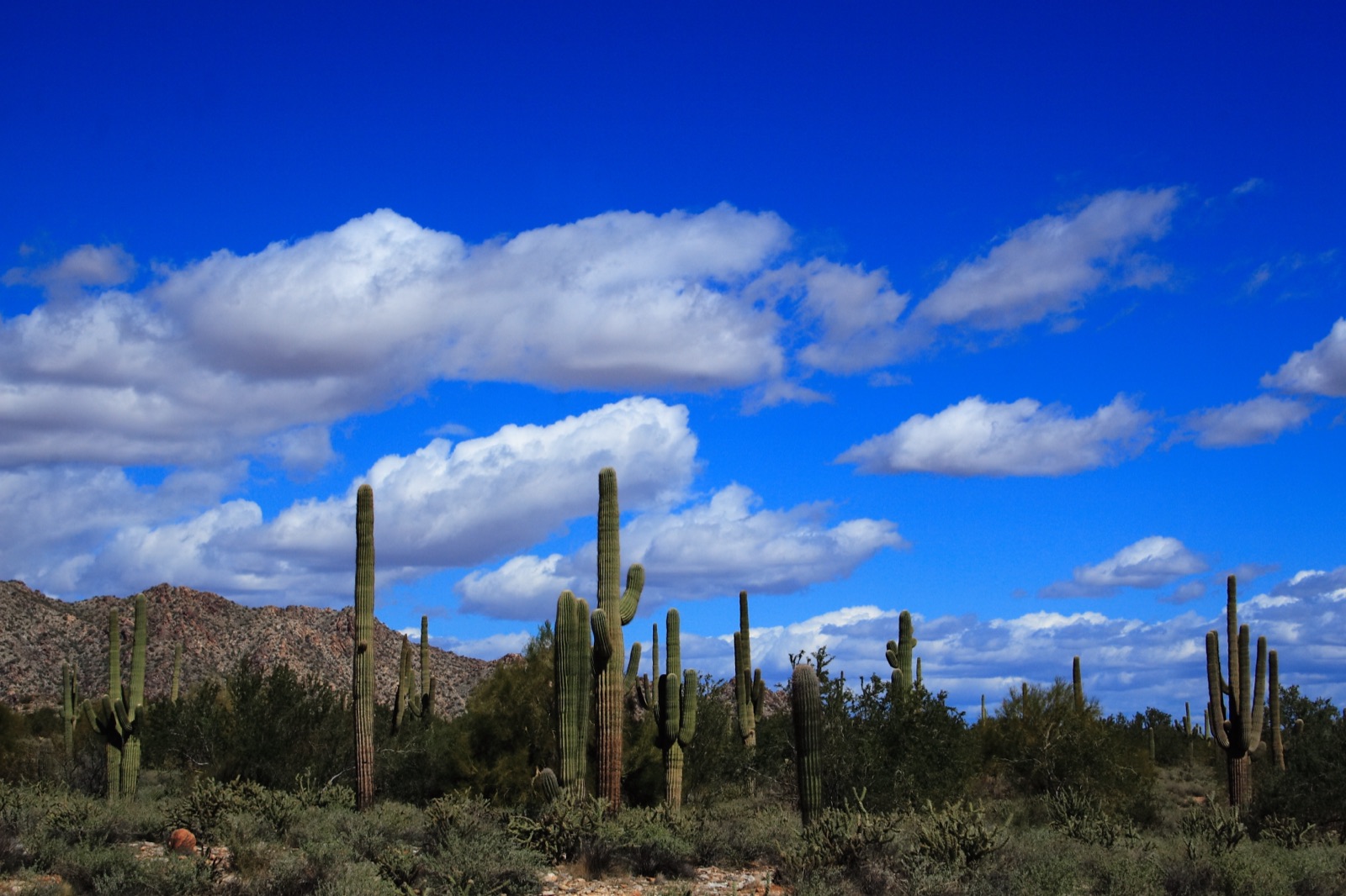
White Tank Mountain Regional Park is the big one. It's the largest park in the Maricopa County system, roughly 30,000 acres of Sonoran Desert right north and west of Verrado, with approximately 30 miles of shared-use trails for hiking, mountain biking, and horseback riding (county hiking page). Correction (Oct. 11, 2026): this guide previously said about 26 miles.
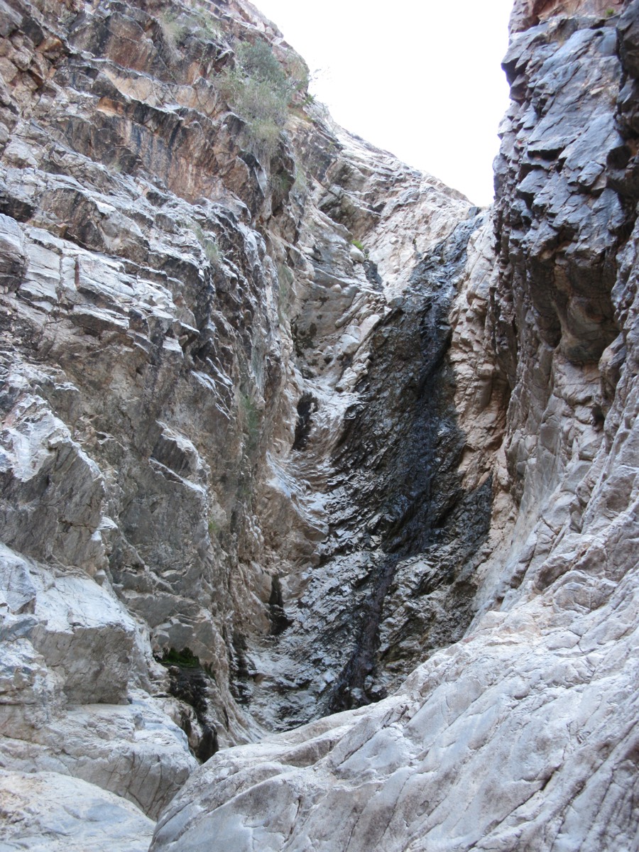
If you only do one hike there, make it the Waterfall Trail. It's short and popular, it leads to a canyon that runs after rains, and you'll pass petroglyphs along the way. It's the hike I'd take visitors on, ideally a day or two after a good storm.
There's also a nature center run with Arizona Game & Fish, plus family and group campgrounds. The county charges a per-vehicle entry fee, and current rates and hours are on the park page.
Skyline Regional Park
Skyline Regional Park is the City of Buckeye's mountain preserve, roughly 8,700 acres in the southern White Tanks and a short drive from Verrado. It has hiking, mountain biking, and equestrian trails, trailhead facilities, and camping, and entry is free. That makes it my pick for a quick weekday walk when you don't want to pay to get in. One change if you used to park on the Verrado side: the Lost Creek trailhead was removed in 2024 for Verrado's next phase, which pushed parking to Meck Park, a trailhead north of it and the Watson Road trailhead. The city has proposed adding about 640 acres from the BLM, with a new South Parcel trailhead to replace Lost Creek and a bike-skills area on the north side. We haven't seen an approval yet (InBuckeye).
Inside the community
Verrado has its own mountain trails, and the 2023 trails map is worth downloading before your first hike. You get on from the Meck Park Trailhead or the Canyon trailhead (the map's text calls it Canyon View and the map graphic labels it Canyon Vista, off Canyon Vista Rd), and both reach the same network. For an easy first outing, take the ADA Accessible Trail (easy, 0.50 mi). The Lower Desert Loop (moderate, 1.56 mi) and Deer Track Trail (moderate, 1.18 mi) are the next step up, and the Lone Saguaro Loop (difficult, 1.30 mi) gets you to the Lone Saguaro Overlook. There's also a City View Overlook on the map.
If you want a short, hard workout, it's Trail 340. It's off Verrado Way about half a mile north of Indian School, and it climbs about 220 feet in just over 500 feet, "just shy of 2 football fields," according to verrado.com. Your calves will feel it the next day.
Know the rules before you go, because they're stricter than a city park. Per the trails map, the trails are open dawn to dusk and close at sundown. They're for pedestrians only, with no bikes of any kind. Dogs go on a leash, and no pets at all on Trail 340. Kids under 16 need an adult. The trails are for Verrado residents and their guests, and there's no alcohol, glass, smoking, fires or fireworks. The map also has a spotting list for kids (Gambel's quail, roadrunners, javelina, mule deer, bobcats) and a watch-out list (rattlesnakes, mountain lions, coyotes).
Out west, Regent Hills has its own trails, Regent Loop, Regent Crest, Regent Summit and Regent West Mountain Trail, with Sunset, Summit and Vista overlooks. They connect to Lost Creek Trail and on into Skyline (Regent Hills brochure).
For a flat walk, you don't have to leave the neighborhood. The developer's site cites more than 86 neighborhood parks, linked by tree-lined streets and walking paths. Community paths climb toward the foothills on the north side, and the upper districts (Highlands and Victory) sit closest to the mountain terrain. The community association sets the rules for community parks and paths; see verrado.com for details, and our Parks & Trails page for the named parks we've verified. If you've got kids looking for playgrounds, the swim park, and city youth leagues, start with kids and sports.
Desert safety
Heat is the real danger out here. From roughly May through September, hike at dawn, carry more water than you think you need, and stay off exposed trails in the afternoon.
Monsoon season (roughly June 15 to September 30) brings sudden storms, flash flooding in washes, and dust storms. If the sky looks wrong, turn around.
Rattlesnakes are part of the landscape. Stay on the trail, keep dogs leashed, and give any snake plenty of room.
Cell coverage is decent near trailheads but thins out deeper in the parks, so tell someone your route before you go.
Unofficial neighbor guide, not the association or the city. Corrections welcome via /contact/.