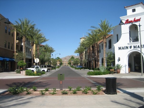
Main Street
The walkable heart of town: coffee, dinner, and events a short stroll from home.
Date nightWalkable
Photo: PghPhxNfk, CC BY-SA 4.0, via Wikimedia Commons
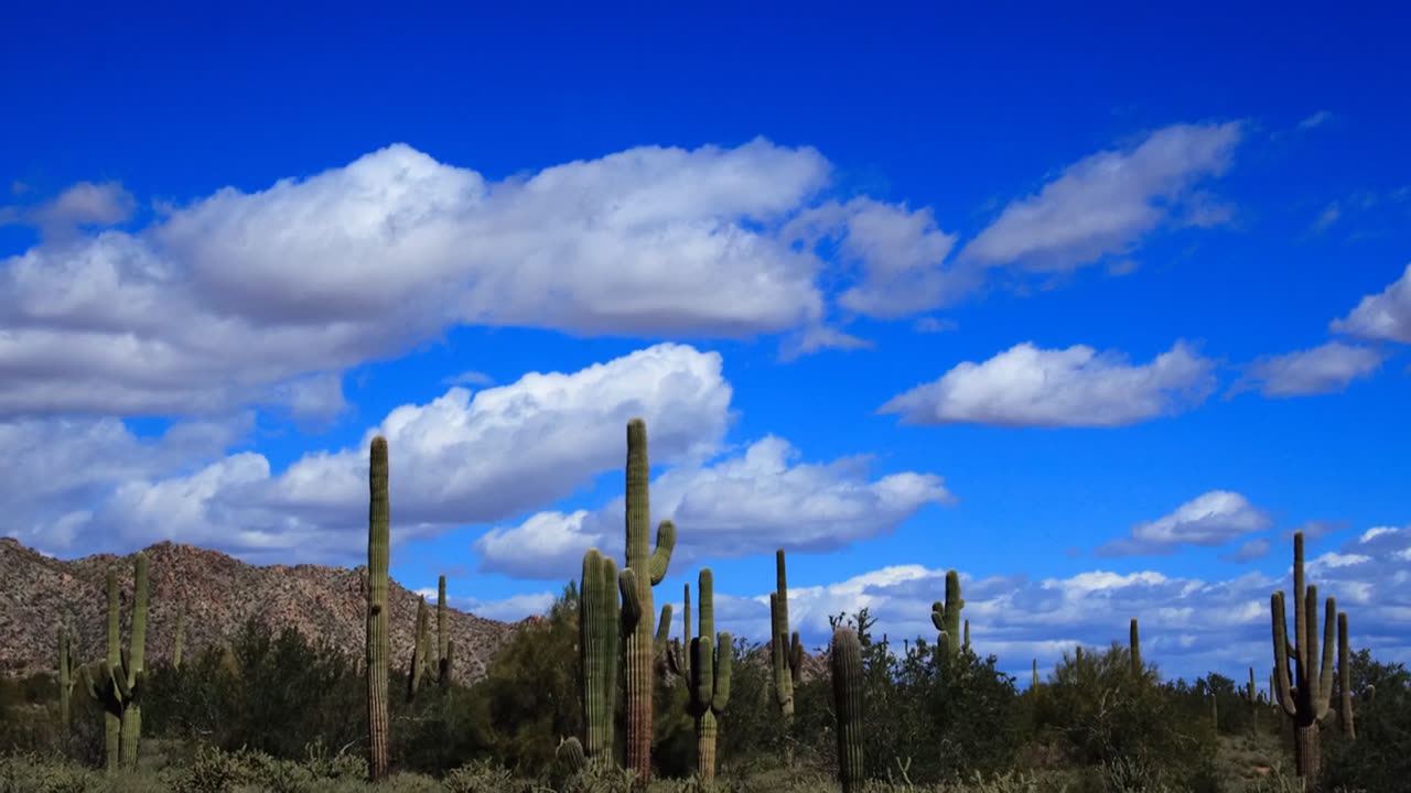
Buckeye, AZ · right up against the White Tanks
Where to eat, swim, hike, and figure out the HOA, written by locals for locals. Not official, just useful.
Unofficial community guide · Photos: John Menard, PghPhxNfk, Venske via Wikimedia Commons (CC BY-SA)
Fresh opens and things to do. Every item's checked against a public source.
Resident-led drive collecting food and everyday essentials at The Center on Main, through Fri Nov 13.
✓ Checked Oct 16 What to donate (PDF)
Fully closed to all traffic through fall 2026, per the city's project page, with no reopening date posted. City staff told West Valley View (Sept 10) they hoped for one lane each way by the end of October; the city hasn't posted that. (Corrected Oct 11: we earlier gave that estimate as the current plan.)
✓ Checked Oct 11 City of Buckeye project page
Start with the move-in checklist: utilities, license, schools, HOA contacts. Then grab dinner on Main Street.
Schools, swim park, splash pads, youth sports, and how to read those state report cards without a headache.
Schools guide →Two 18-hole courses, Founders and Victory, with the White Tanks as your backdrop.
Main Street, Sunrise Market, and the new Marketplace food row, sorted by what you're in the mood for.
The honest overview: districts, costs to understand, commute, and where to double-check.
The walkable heart of town: coffee, dinner, and events a short stroll from home.
Photo: PghPhxNfk, CC BY-SA 4.0, via Wikimedia Commons
Downtown's second hangout on W. Sentinel Dr, with food, salons, and studios.
The big new center at I-10 and Verrado Way. Errands done, food row still filling in.
The resident pool, kids' pool, and splash pad, aka summer headquarters.
Founders and Victory, two 18-hole courses with a serious view.
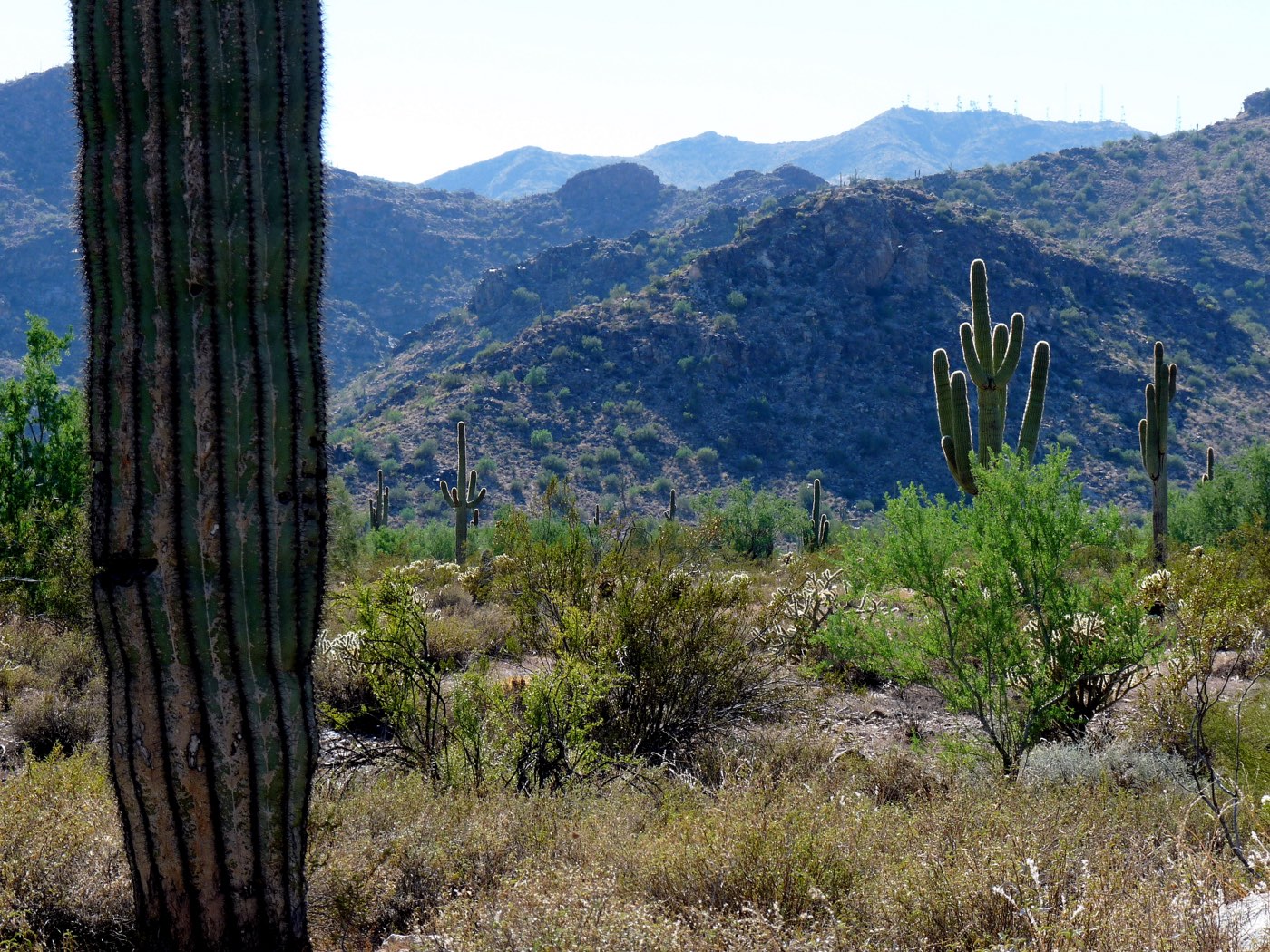
Saguaros, desert trails, and big sunsets just up the road.
Photo: Venske, CC BY-SA 3.0, via Wikimedia Commons
Plain-talk answers, each one linked to the official source.
A parent walkthrough of Arizona School Report Cards for the LESD #79 schools serving Verrado and Verrado High: how to look up data, not a list of letter grades.
Read the guide →How to find licensed childcare through Arizona DHS, plus the pediatric and clinic listing already on this site. No rankings, no invented waitlists.
Read the guide →How Verrado connects to the rest of the Phoenix metro: I-10, Loop 303, commute realities, and what to know about West Valley driving.
Read the guide →Where families look for swimming, school athletics, city leagues, parks, and White Tanks outings, with official links instead of invented schedules.
Read the guide →A practical overview for anyone considering a move to Verrado: location, districts, costs to understand, schools, and where to verify the details.
Read the guide →Everything to set up when you move to Verrado: utilities, driver license, voter registration, schools, and community association contacts.
Read the guide →The public schools and districts serving Verrado: Litchfield Elementary School District #79 and the Agua Fria Union High School District.
Read the guide →How Verrado's community governance works: the Verrado Community Association, the Verrado Assembly, the Victory District Association, and the city CFDs.
Read the guide →Hiking, biking, and desert recreation around Verrado: White Tank Mountain Regional Park, Skyline Regional Park, and the community's own parks and paths.
Read the guide →The White Tank Mountains rise right behind the community, with a county regional park, a city mountain preserve, and Verrado's own parks and paths in between.
Find a trail →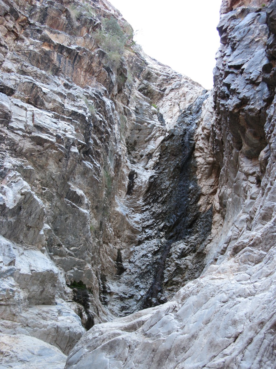
Far west side of the Phoenix metro in Buckeye, Arizona: north of I-10 at Verrado Way (Exit 120), about 25 miles from downtown Phoenix, tucked against the White Tank Mountains.
Getting around the West Valley →Neighbors who check the facts and link to the real source.
Every listing points to the official site — verrado.com, buckeyeaz.gov, school districts, and county pages — so you always get current, authoritative details.
This site is not affiliated with DMB Associates, the Verrado Community Association, or the City of Buckeye — it's an independent resident-oriented guide.
Residents can suggest new listings and corrections, and every news item links back to a public source you can check.
We're neighbors, not the HOA, the developer, or the City. We link to the official source every time, so you can double-check us. Spot a mistake? Tell us · Disclaimer